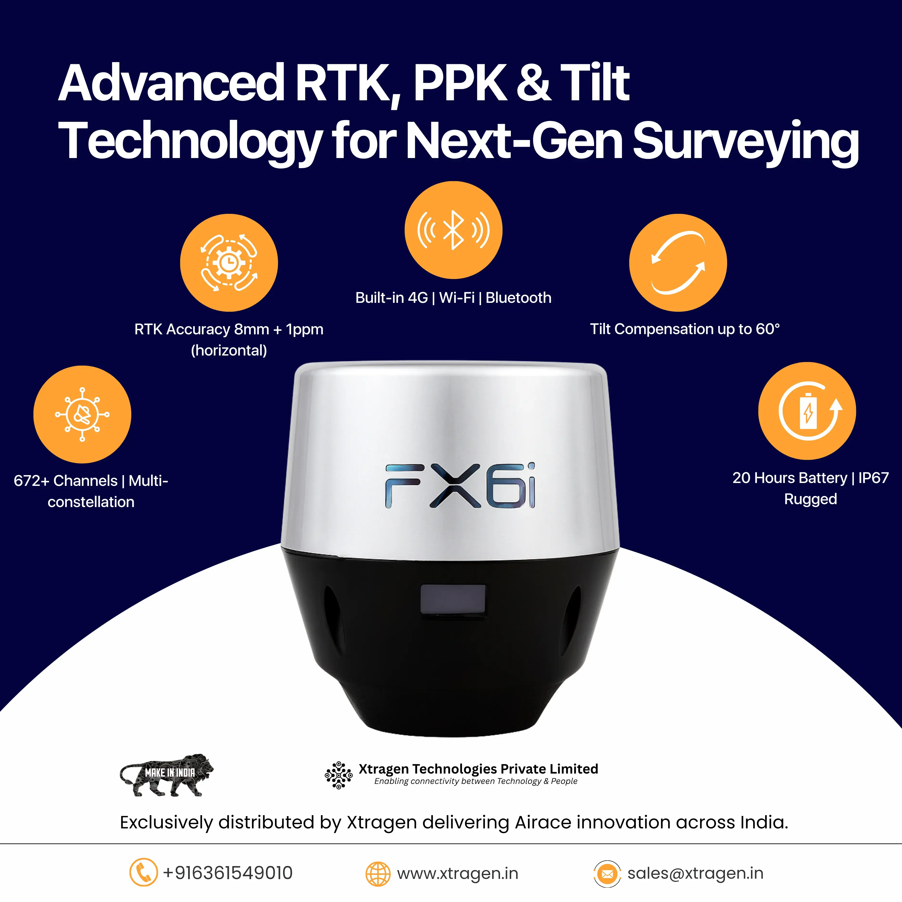
The Airace FX6i GNSS RTK Receiver is a next-generation, high-precision positioning solution designed for surveyors, engineers, GIS professionals, and industries that demand accuracy, portability, and reliability. Built with advanced tilt compensation technology, multi-constellation support, and seamless connectivity, the FX6i ensures millimeter-level accuracy even in challenging environments.
Key Features & Benefits:
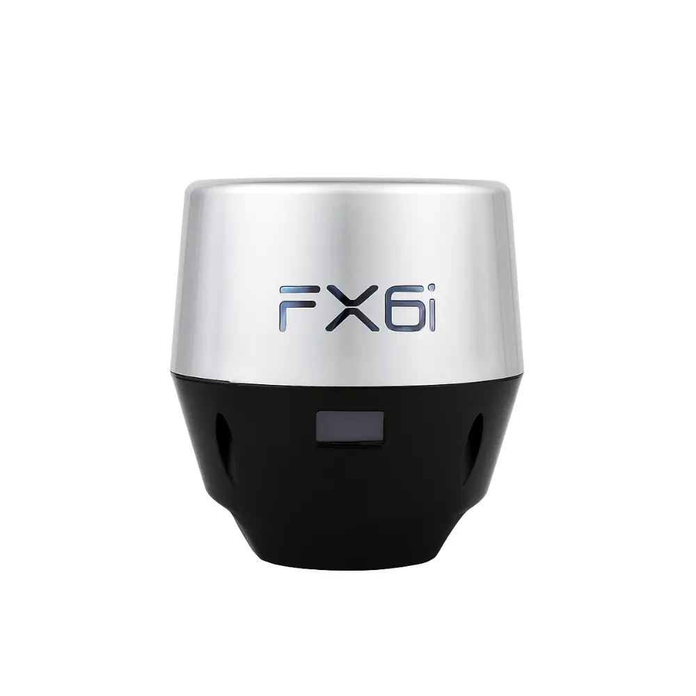
- Portable & Lightweight: Compact design (479 g, 142 x 110 x 110 mm) makes it easy to carry and deploy in the field without bulky equipment.
- Millimeter Accuracy: Intelligent processing accounts for signal quality, atmospheric interference, and satellite geometry to deliver highly reliable positioning.
- Tilt Compensation: 9 DOF IMU with calibration-free tilt support (0°–60°) ensures accurate RTK measurements without the need to level the pole.
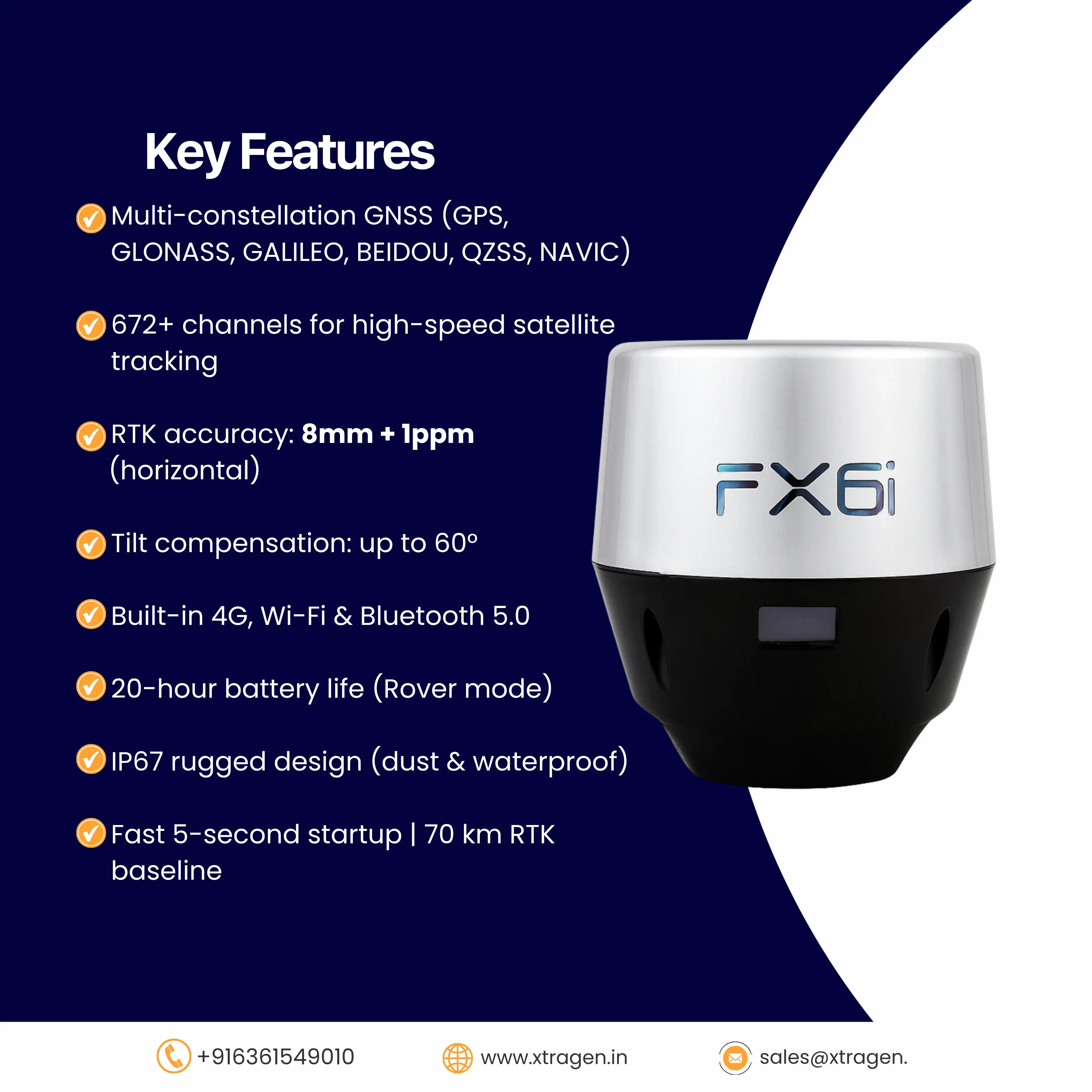
- Multi-Constellation Tracking: Supports GPS, GLONASS, Galileo, BeiDou, QZSS, SBAS, and NAVIC for robust performance worldwide.
- PPP Compatibility: Enables Precise Point Positioning anywhere on Earth, ideal for remote or infrastructure-limited locations.
- Long Battery Life: 7500 mAh lithium-ion battery provides up to 20 hours in Rover mode and 12 hours in Base mode.
- Efficient Connectivity: Equipped with Bluetooth 5.0, Wi-Fi (2.4G), USB Type-C, and internal 4G modem for seamless data transfer and remote operation.
- LoRa Radio Communication: 2W LoRa modem provides RTK communication up to 8 km (typical) and 12 km (optimal), outperforming traditional UHF radios at lower power consumption.
- Rugged & Reliable: IP67-rated waterproof and dustproof housing, tested for vibration/shock compliance (MIL-STD-810F), and certified by NABL accredited labs.
- Fast Startup: Ready to operate in just 5 seconds, ensuring minimal downtime in the field.
Software Ecosystem:
- Airace One (Mobile App): Quick setup, millimetre-precise data collection, COGO functions, and export in CSV, DXF, and SHP formats.
- Airace GeoStudio (Desktop): Advanced PPK, static, and network baseline processing with support for multiple coordinate systems and geoid models.
- Airace OneHub (Cloud): Real-time monitoring, fleet management, CAD/GIS tools, and remote data sharing for complete ground-to-cloud synergy.
Performance Specifications:
- RTK Baseline: Up to 70 km
- PPK Baseline: Up to 70 km
- Static/PPK Accuracy: 3 mm + 0.5 ppm (H), 5 mm + 0.5 ppm (V)
- RTK Accuracy: 8 mm + 1 ppm (H), 10 mm + 1 ppm (V)
- DGPS Accuracy: 0.25 m + 1 ppm (H), 0.40 m + 1 ppm (V)
- Data Formats: RTCM, RINEX, NMEA, VRS, NTRIP
The Airace FX6i is engineered to be the only RTK receiver you will ever need—combining portability, precision, and reliability with advanced software integration for a complete surveying solution.